“It’s a lot more amazing than I expected,” I said to the young man next to me. “It’s epic!” he replied. And so it was.
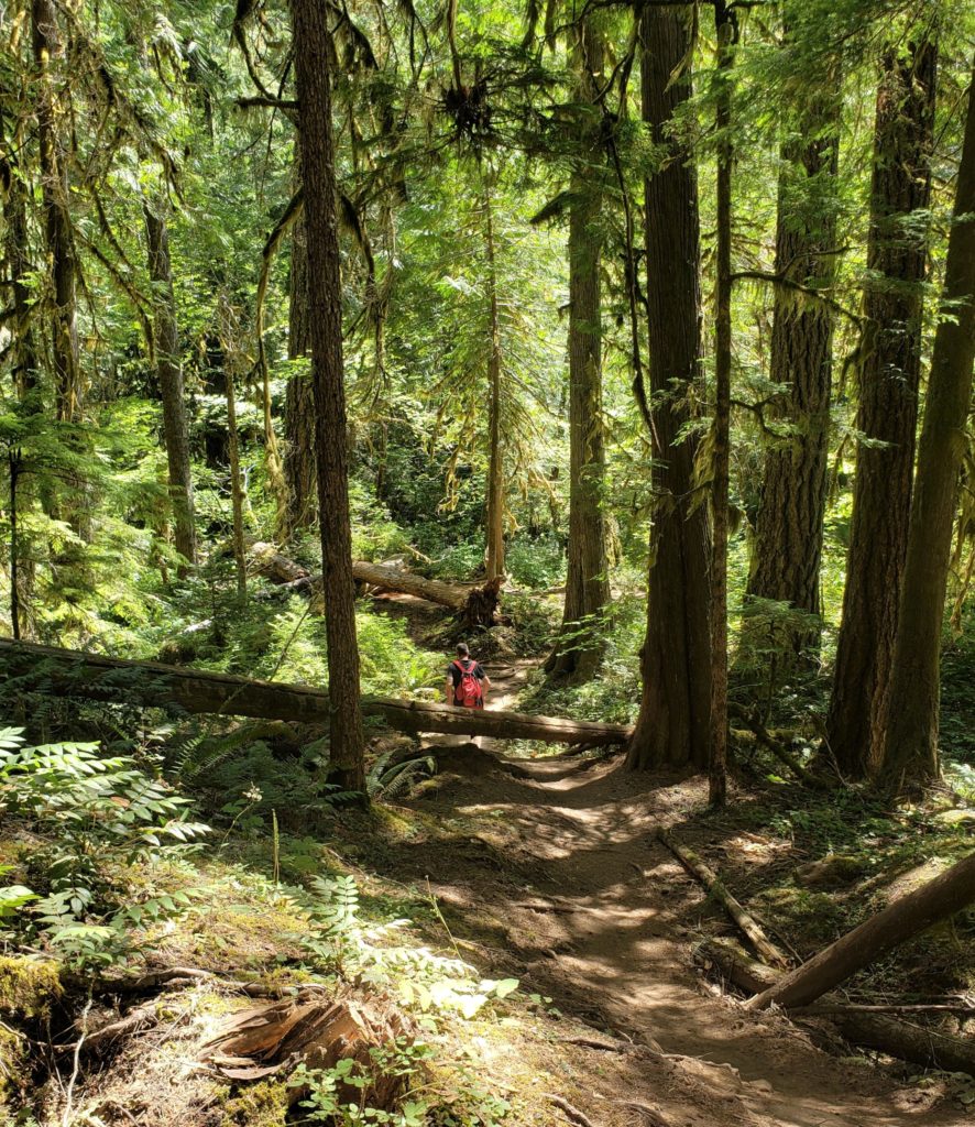
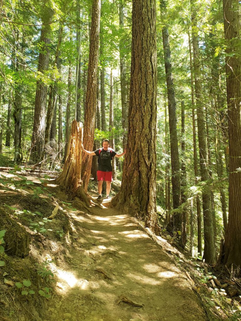
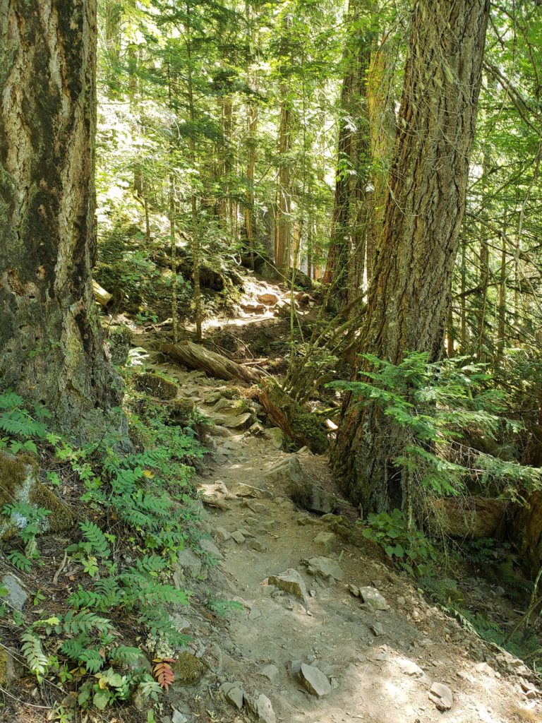
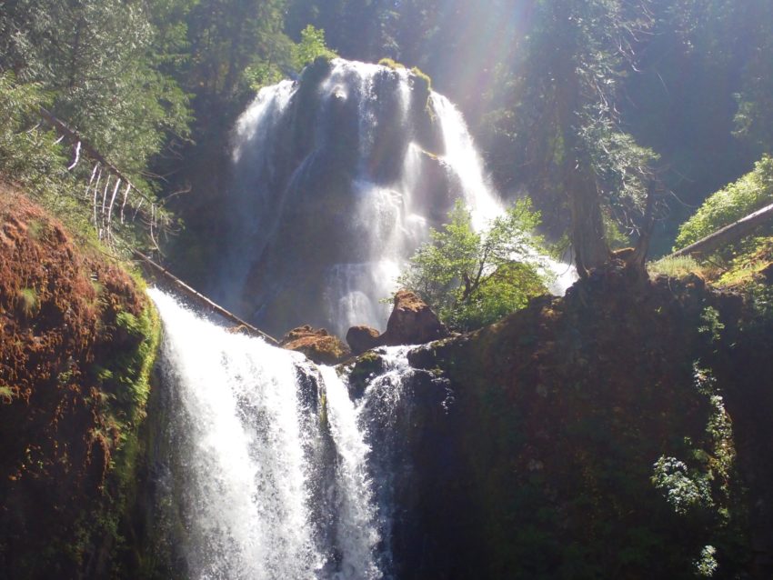
What we expected to be an ordinary waterfall hike led to a surprisingly large and powerful waterfall, three tiers dropping 335 feet. Actually, the hike is pretty amazing as well. The path twists and turns with lots of roots and rocks, and giant trees.
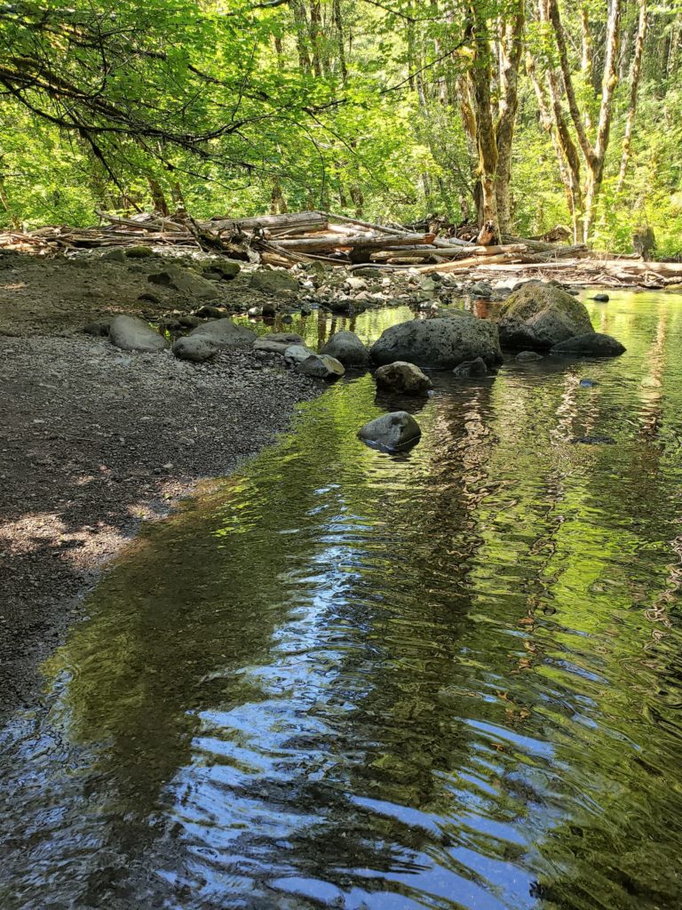
You can see the creek during the first part of the hike. It fact, about 100 feet in there is a nice little gravelly beach where you can take a swim in the crisp, cold water.
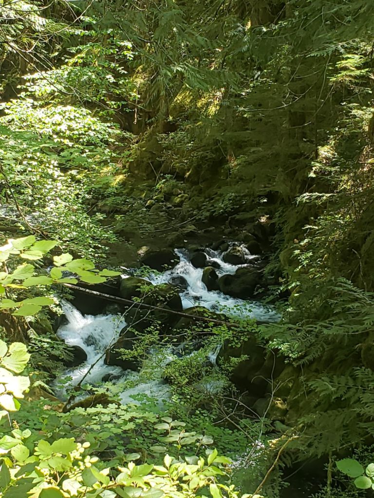
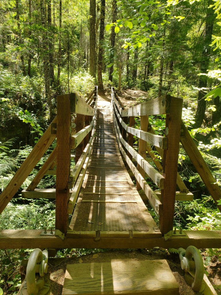
Further along, a narrow suspension bridge crosses the creek and gives a nice view of the tumbling water.
The steady elevation gain is over 1,100 feet, making a fairly easy trail a little more challenging. Stepping (or climbing if you’re not very tall) over the occasional log, winding around trees growing on the path, you will even cross a rocky area where it looks like water runs off the mountain during certain times of year. The sun was hot and the occasional respite provided by some shade and a gentle breeze felt very nice.
Nature’s grandeur
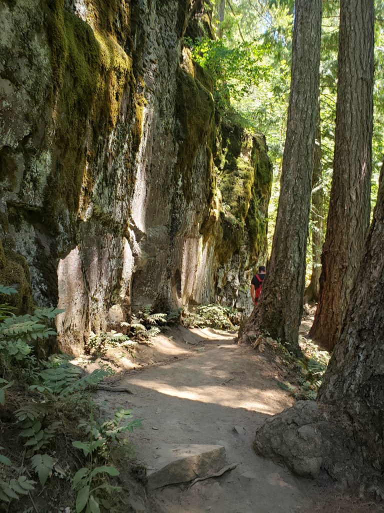
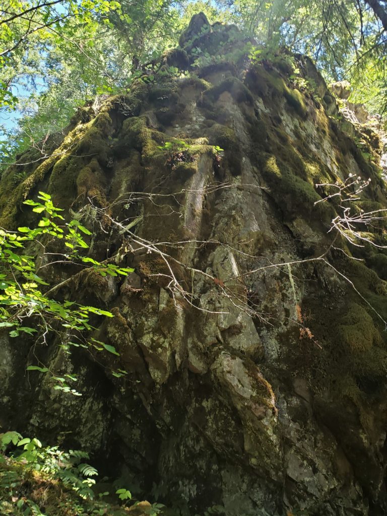
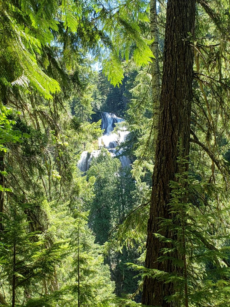
Closer to the falls, the path gets very rocky, with giant boulders and rock walls on the left. The size of the rocks and trees made me feel very small. It is definitely a grand forest! When I got my first glimpse of the falls I was surprised. I could see from a distance that they were much bigger than I had anticipated. When they came fully into view the immensity was astounding. Indeed, they were epic. The top tier is hidden, while the second is wide, leading to a third, longer, single drop at the bottom. The power of the water makes the pool at the base turbulent and not suitable for swimming. I can only imagine its force in the Spring. Perhaps another visit is called for!
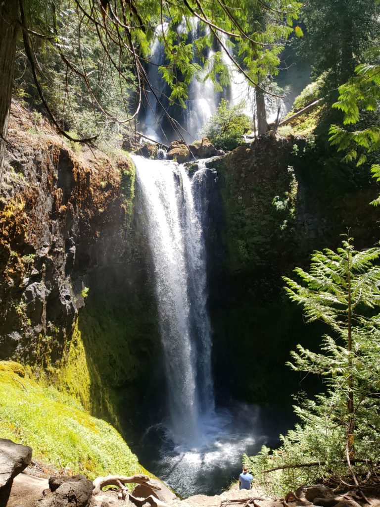
There is a natural platform below the boulders at the top, which can be accessed with a scramble for pictures, but no visible trail down to the very bottom. (See the man in the blue shirt down on the platform?)
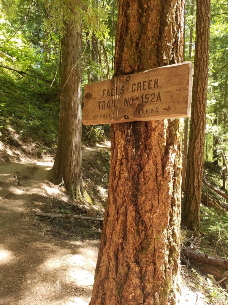
We were satisfied by this incredible view from trail 152A, but there is another trail (152) which leads to the top, and extends the 4-mile out and back to a 6-mile loop.
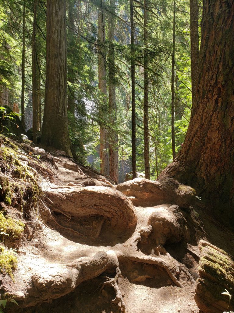
Roots can be almost as hard to navigate as boulders!
Getting there
*Just so you know, for planning purposes, the gravel road you take for the last 2.5 miles or so on NF-3062 is pretty good. There is one section that has some potholes so take care. The road ends at the parking area and there were no payment boxes for day use. We saw a lot of doggies and a cat on the trail and even some families with baby backpacks, although I would keep an eye on small children as the path becomes narrow and slanted in a few sections.
For more information visit the US Forest Service website and the Mandagies.
![]()

I almost felt like I was there!
Thanks! I hope you’ll get to go in person. Pictures really don’t do it justice!
The waterfall truly is Epic! Although the terrain one has to traverse looks quite hard, it is all worth it in the end 😀
It was worth it! And, you know, I think that kind of interesting terrain makes the hike so much better. I’m always so busy looking at everything and taking pictures that the time seems to fly by.