So you want to get up close and personal with a waterfall. You want to stick your hands in the spray, walk across the rocks at the bottom, even walk right up to the base and take a shower. That sounds like fun, right? The trailhead at Starvation Creek Falls leads to several unique, interactive waterfalls you can play in.
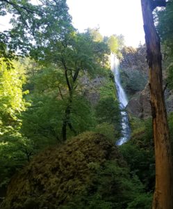
Travelling eastbound on Highway 84 from Portland, exit 55 leads to the parking lot for Starvation Creek Falls. It’s basically a rest stop, but with a waterfall and picnic area almost hidden beyond the parking lot. It’s a fairly impressive, tiered waterfall but there’s More!
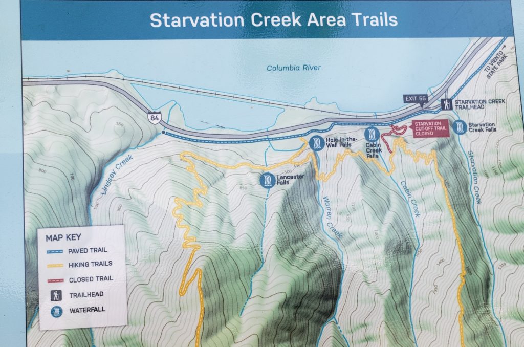
The trailhead is the hub between paved paths that lead east to Viento State Park and west to Wyeth. We were a little skeptical as we started out. A paved path next to the highway didn’t look much like hiking, but the sign promised three additional waterfalls.
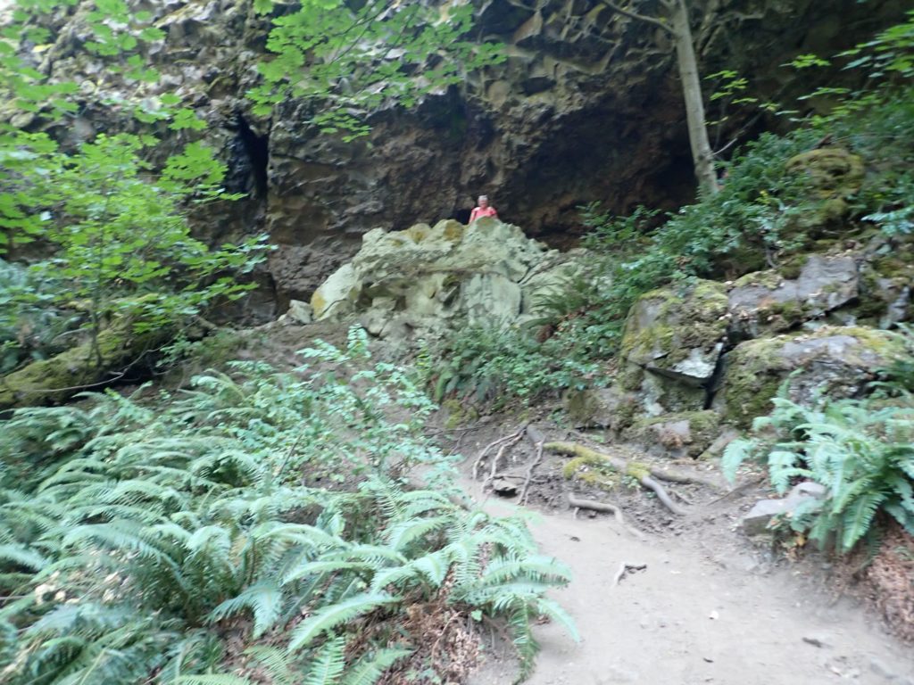
The first, Cabin Creek Falls looked very small. In fact, it is 220 feet and is probably much fuller in the Spring. When we went closer to investigate, we found a pool at the base and a rocky, cave-like overhang at the top. I climbed up there on all fours, hanging onto rocks and roots. When I got to the top, my brother decided he needed to climb up too, despite his tread-bare shoes. At the top, you can stand behind the fall and put your hands in the water. Interacting with the waterfall and looking down at the sharp incline I had navigated was a unique experience that gave me quite a thrill!
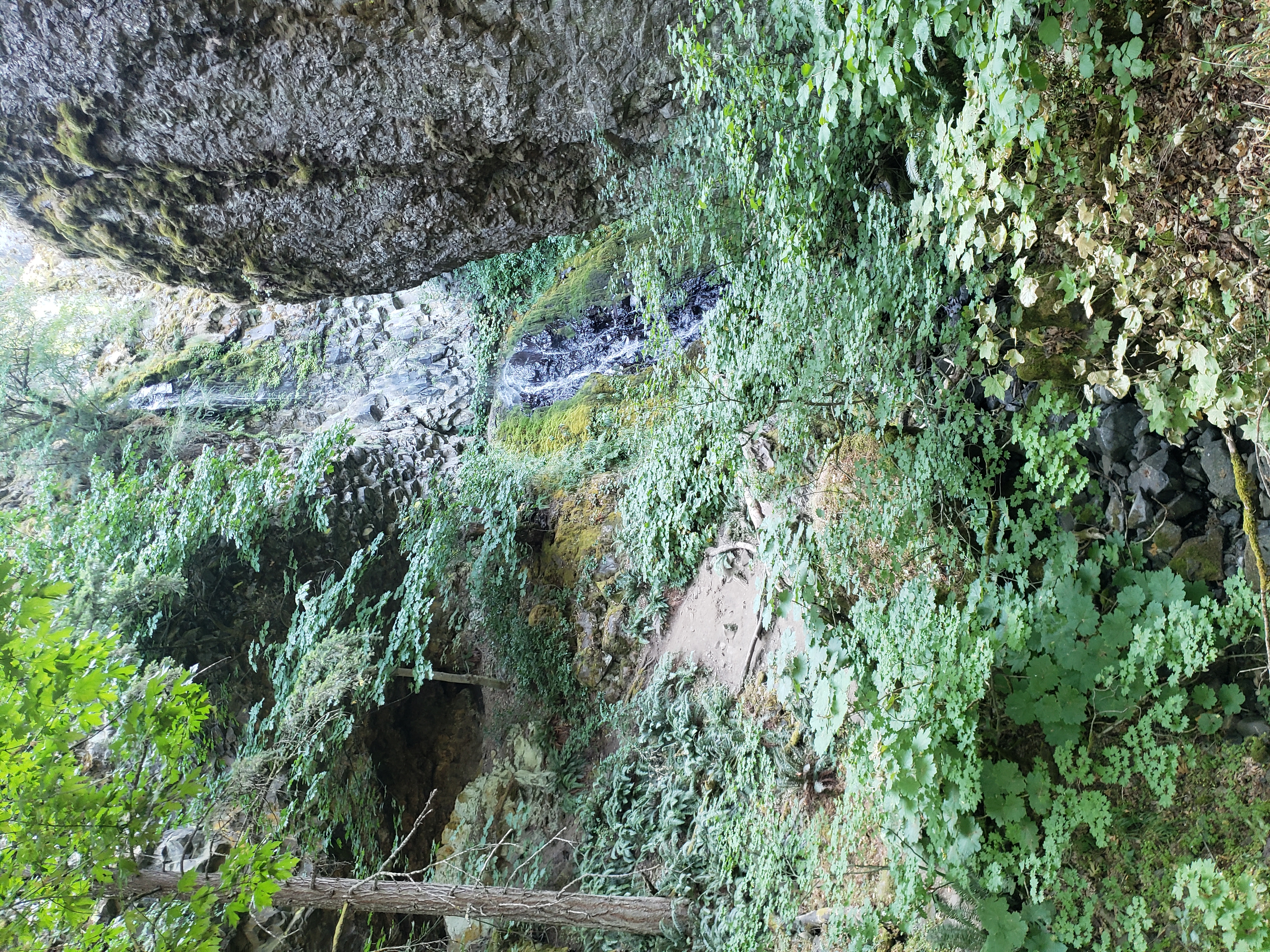
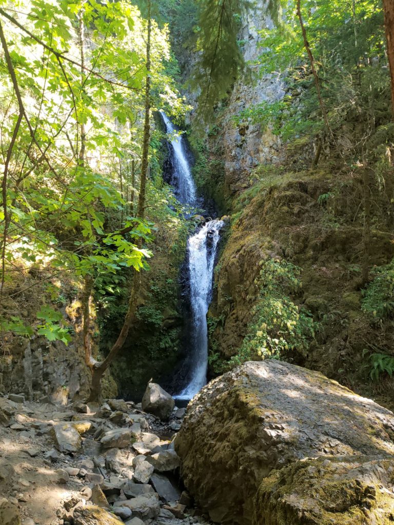
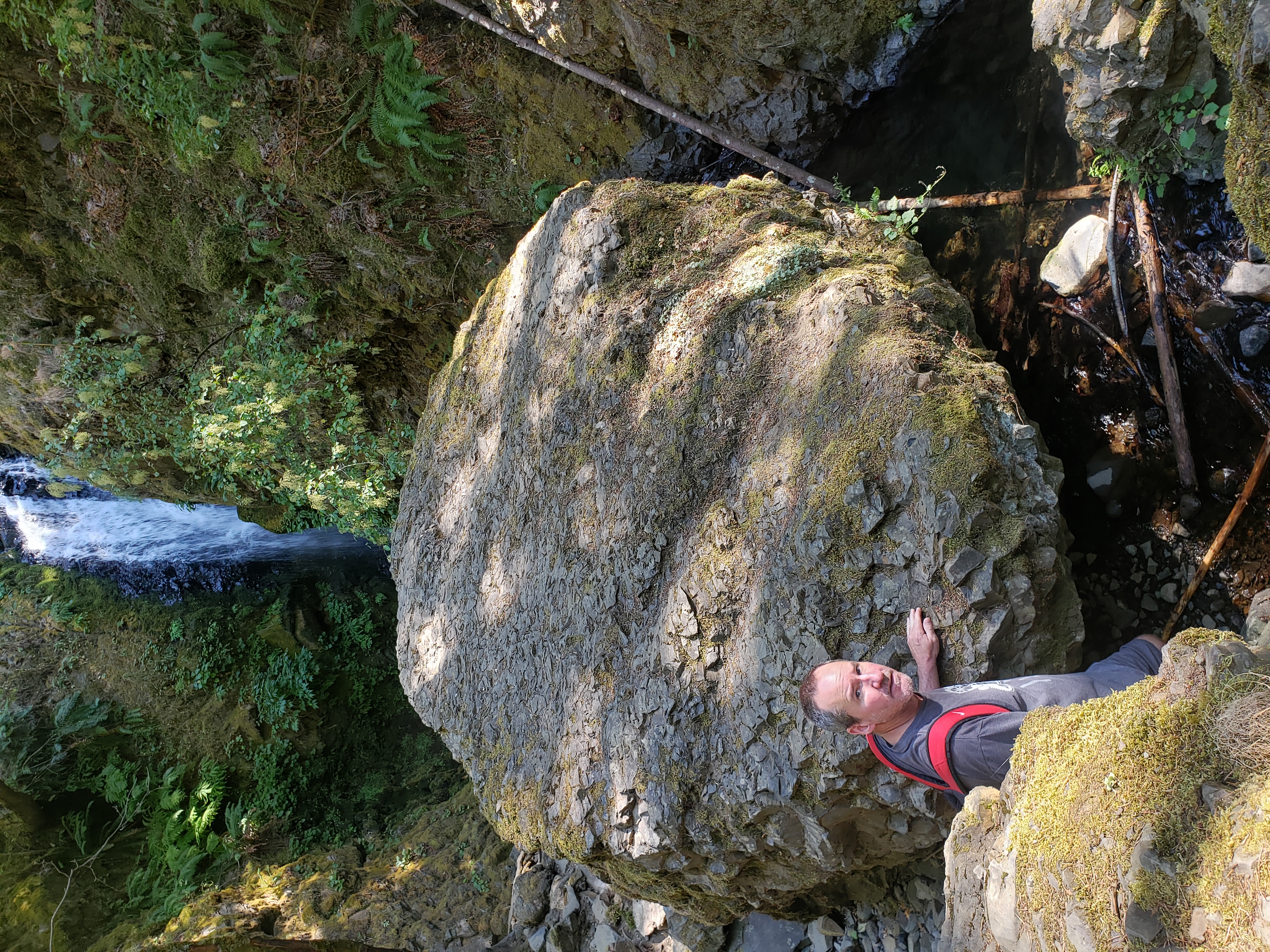
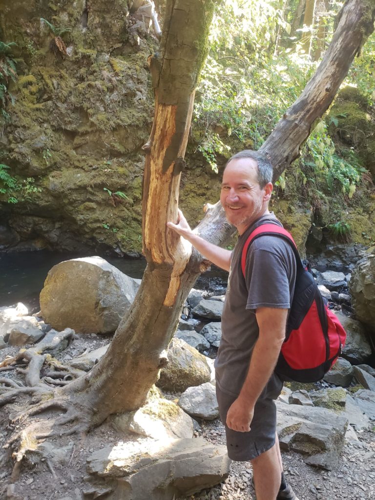
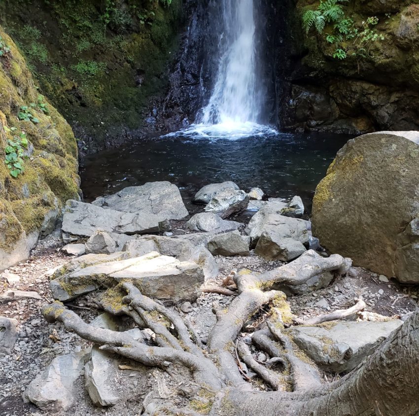
The second waterfall, Hole in the Wall Falls, actually comes out of a man-made hole in the rock face. It is off the paved trail at the junction to the more rugged Mount Defiance trail. We spent some time climbing on rocks and taking pictures. Aside from the large rocks and an unusual tree shaped like a perfect wishbone, the small pool at the base is calm and easily accessed. On the way back I sat on a rock and put my feet in. While I sat admiring the waterfall, a runner came down the trail and walked into the small pool and right up to it!
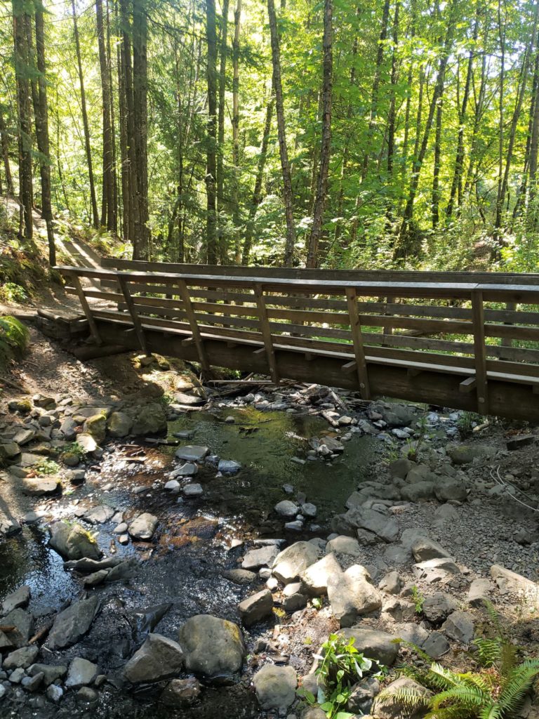
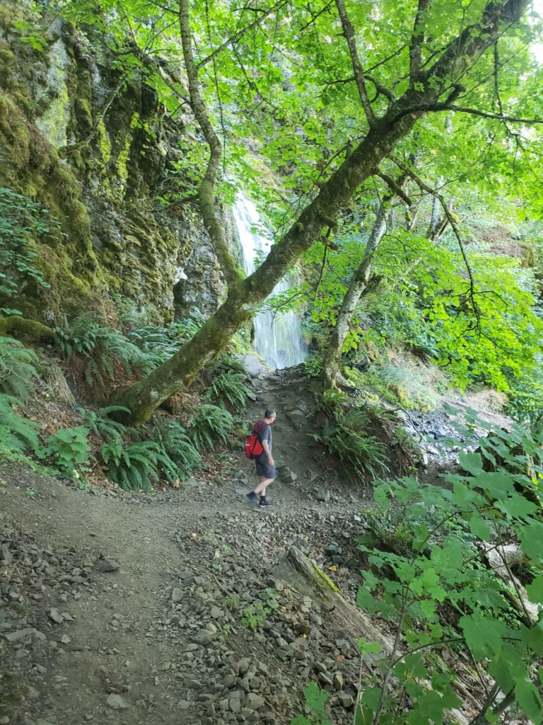
Crossing the bridge and travelling steadily upward on the gravel trail was hot and dusty. The gravel is loose in places and the trail gets a little narrow, but it’s a relatively short hike.
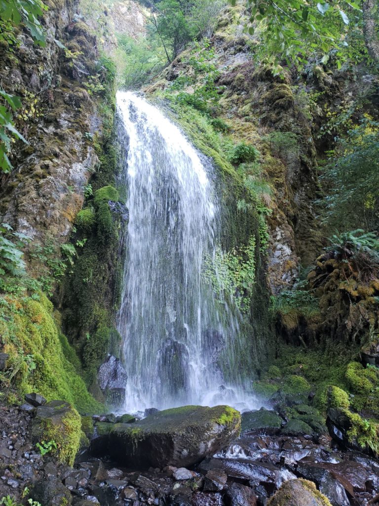
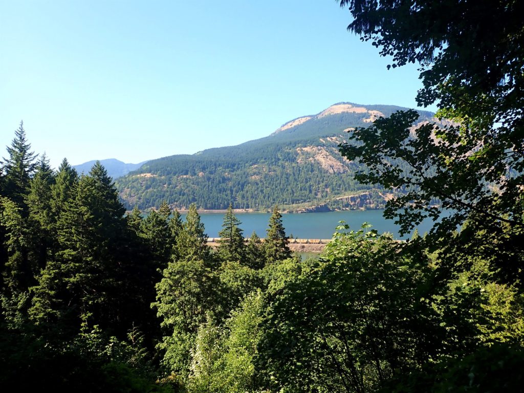
When we reached Lancaster Falls the climb was well worth it. Looking down through the trees we could see the Columbia River and Washington on the other side. You can walk across the rocks at the base of the falls to the other side, stop and take pictures in the middle, or just enjoy the cool mist. The lower tier of the waterfall is only about 40 feet but I’ve heard about a 200-foot upper tier that lies hidden behind the trees.
We were having so much fun that the time flew by. What began as an ordinary-seeming stroll down a paved trail, became an opportunity to explore and interact with some small, but unique waterfalls. Curiosity and a sense of adventure might lead you to all kinds of unexpected treasures.
As an aside, in late July the weather is hot and dry. What we experienced last weekend is not what you will find in the Spring when rain and snowmelt increase water flow and make trails muddy.
Also, the difficulty ratings for local hikes are very subjective. I have seen this hike rated easy because of the relatively small elevation gain, but the Mount Defiance trail has a steep, steady incline and combined with the loose gravel underfoot it could be considered moderate. It depends on who you ask!
For more history and information about Starvation Creek State Park and the trails and unique waterfalls found there, you can visit the Oregon Encyclopedia website or the Oregon State Parks website
![]()

Loved the hike from Viento State Park to Starvation Creek Falls.
But what was even better was Mitchell Point! 😉
Hi Stout! We were heading in the other direction from Starvation Creek and really enjoyed being able to get right in those falls! Apparently the exit for the trailhead to Mitchell Point closed in June and will reopen in 2023, so it looks like you picked a good time to visit!
Mount Defiance is aptly named 😀 Columbia river looks absolutely gorgeous! Once more a most wholesome experience, and as I look at those pictures, I feel the energy.
Thanks Black Knight. Do read the link to Oregon Encyclopedia if you have time. I didn’t want to reinvent the wheel on my post, but the history behind the name “Starvation Creek” is pretty interesting.